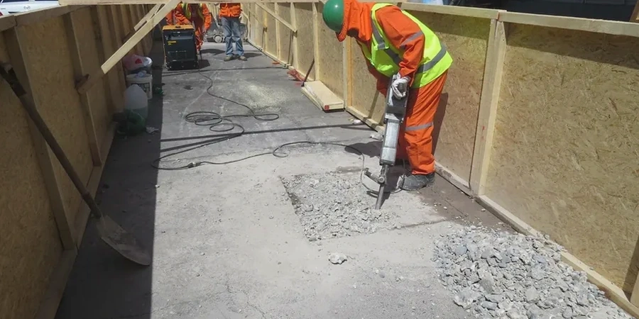
A recent commercial development off Boulevard Brien in Repentigny encountered unexpected saturated clay lenses at just 4 meters depth—right where the geotechnical report had assumed competent till. The contractor lost three weeks to dewatering and redesign, a delay that a preliminary geophysical survey would have flagged before the first excavator arrived. That is precisely the scenario our vertical electrical sounding (VES) and 2D resistivity profiling work prevents. On the north shore of the St. Lawrence River, where Champlain Sea clays interbed with deltaic sands to unpredictable depths, relying solely on spaced boreholes leaves gaps that can cost tens of thousands in change orders. We deploy electrical resistivity as a reconnaissance tool that maps the continuity of these units between drill points, identifying low-resistivity aquitards, sand channels, and saline groundwater interfaces long before foundation design is finalized. For engineers working in the Lanaudière region, the combination of CPT testing at discrete locations with a continuous resistivity cross-section delivers a stratigraphic model far more solid than either method alone, particularly when the project must satisfy the geotechnical investigation requirements under the current National Building Code of Canada and CSA A23.3 provisions for concrete structures on variable ground.
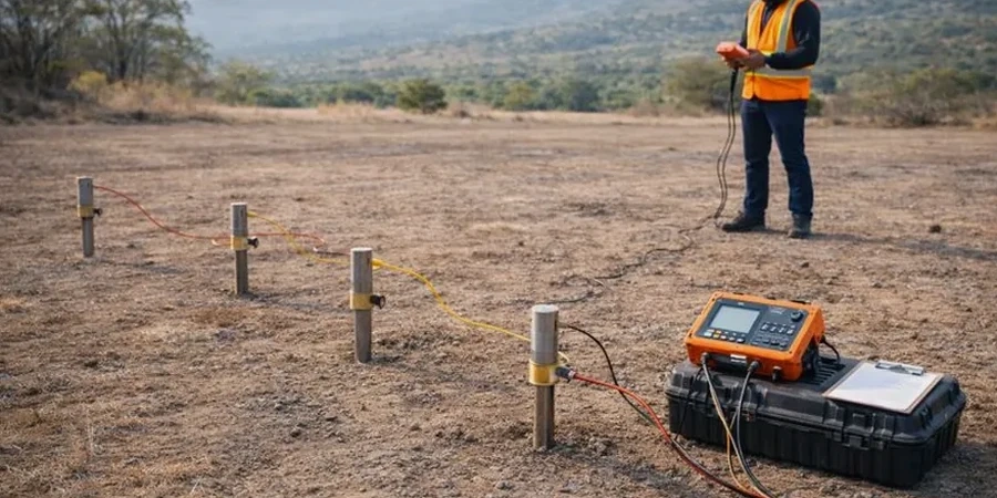
On Champlain Sea clays, electrical resistivity contrasts exceeding 50 ohm-m between the marine silt and the underlying till make VES the fastest way to map bedrock topography across a Repentigny site.