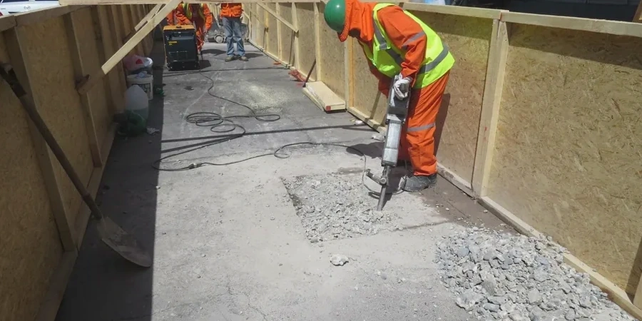
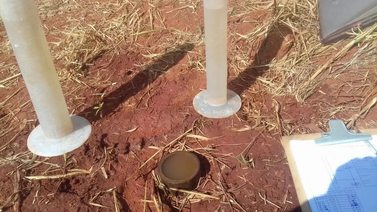
Repentigny sits at roughly 10 meters above sea level on the north shore of the St. Lawrence River, where the sedimentary geology demands precise hydraulic characterization. The City of Repentigny has invested heavily in flood mitigation since the 2019 spring freshet, which prompted updated zoning overlays near the L'Assomption River corridor. Accurate field permeability data isn't optional here—it drives the sizing of retention basins, the design of underdrain systems, and the evaluation of contaminant transport risk in commercial developments. Our Lefranc and Lugeon testing quantifies in-situ hydraulic conductivity directly within boreholes, giving project engineers the numbers they need to satisfy the groundwater control requirements of the Quebec Construction Code. For deeper soil profiles, the Lefranc method captures localized permeability without the disturbance of lab remolding, while the Lugeon test evaluates rock mass fracture connectivity in the limestone and shale bedrock that underlies much of the Lanaudière region. When a Repentigny project requires a complete subsurface picture, we often pair this with a CPT test to map stratigraphic boundaries before selecting test intervals.
In-situ Lefranc testing captures fracture flow and macropore conductivity that no lab permeameter can reproduce, especially in the Champlain Sea clays.