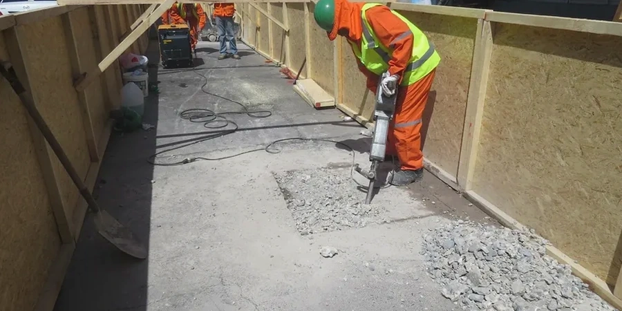
When you excavate below the water table in Repentigny, you are engaging with a subsurface shaped by the retreat of the Champlain Sea nearly 10,000 years ago. The city sits at roughly 10 meters above the St. Lawrence River, underlain by sequences of sensitive marine clays that can lose more than half their strength when remolded. Excavations deeper than 3 meters routinely encounter interbedded silt lenses that channel groundwater from the L'Assomption River plain, creating hydraulic gradients that complicate open-cut methods. In our experience across the Lanaudière region, a deep excavation design that works in the till of the Canadian Shield, just north of the city, will fail catastrophically in the Champlain clays of the southern neighborhoods unless the anisotropic consolidation stress history is explicitly modeled. We integrate piezocone data from CPT testing with laboratory triaxial paths to define the undrained shear strength profile that governs the temporary shoring sequence. Our approach respects the 2010 NBCC seismic hazard values, which mandate a design spectral acceleration that accounts for the moderate seismicity of the Western Quebec Seismic Zone, and aligns with the deep foundation requirements of CSA A23.3.
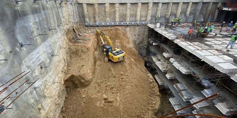
In Repentigny's Champlain clays, the design of a deep excavation is governed not by the intact peak strength but by the remolded residual strength after strain softening.